Allard Pierson Fellowship for Cartography
This fellowship is supported by a generous gift of a private individual.
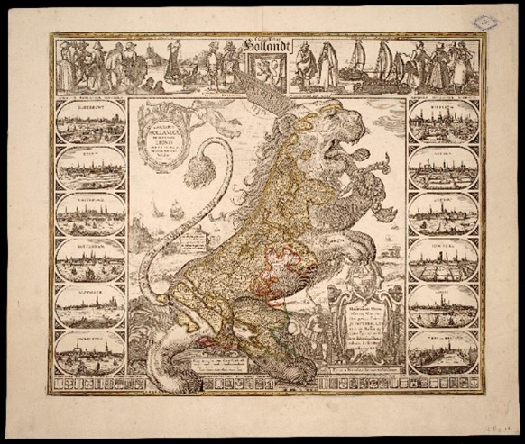
The Allard Pierson collection of Maps and Atlases is one of the largest in the world. The Allard Pierson has approximately 150,000 loose maps, around 6,000 atlases and a variety of globes in storage. Many hundreds of maps are classified as unique or very rare. A prominent constituent of the collection is the Library and Map Collection of the Royal Dutch Geographic Society (Koninklijk Nederlands Aardrijkskundig Genootschap (KNAG); from 1880 and steadily expanded since). The collection broadly reflects the history of Western, specifically Dutch, cartography up to the present day. Maps made in the seventeenth century in Amsterdam, then the world’s leading map producer, are exceptionally well represented. The collection includes renowned cartographers like Blaeu, Janssonius and De Wit, but also less well-known mapmakers such as Schenk, Valck, Ottens and Maaskamp
Suggestions for research:
- The changing perception of the colonial past, among which Suriname, the Netherlands Antilles, the Netherlands East Indies feature.
- Maps as instruments of power.
- The changing relationship between humans and the environment.
- The relationship between text and image in maps from the 16th to the 18th centuries.
- Other topics in the field of cartography.
Searching the collection
Loose maps and atlases are well described and can be searched using the UvA catalogue and the image database. In addition, Wikimedia Commons offers maps from the KNAG collection and the Atlas der Neederlanden (Atlas of the Netherlands).
Questions
Curator Reinder Storm can be contacted at r.storm@uva.nl for questions about the collection. Fellowships programme coordinator Anna de Wilde can be contacted at a.e.dewilde@uva.nl for questions about the application process.
