From Cartography to Cookbooks: A Web of Dutch Colonialism
From Cartography to Cookbooks: A Web of Dutch Colonialism is the first fully-digital exhibition of the Allard Pierson. This virtual project took place in collaboration with UvA’s students of the Master Museum Studies. This exhibition shows how seemingly objective items such as maps and cookbooks are products of colonial history, an aspect of history often overlooked.
Focusing on the Dutch colonial context of the East- and (to a lesser degree) West-Indies, the exhibition lays out how cartography and cookbooks tie into a larger postcolonial narrative of Dutch colonialism and exploitation. The selected objects, legacies of colonial violence, are approached through three sub-themes which connect them to Dutch contemporary society: gender, environment and space. The different approaches addressing the larger theme of Dutch colonialism are meant to invite viewers to question and decode the implied messages of the items. Ultimately, exhibition offers space for discussions and self reflection for both the visitor and the Allard Pierson as an institution.
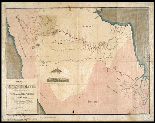
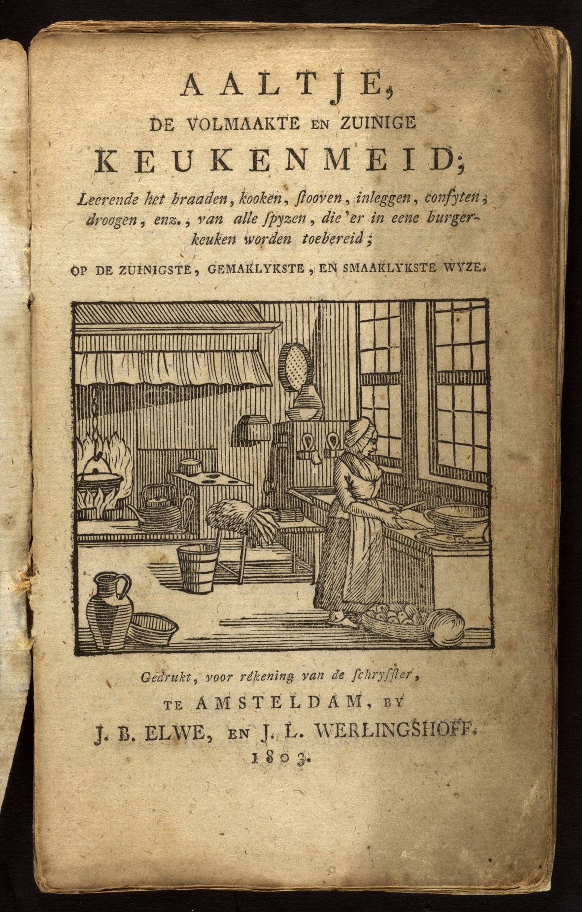
Space: Public vs Private
Colonialism affected the colonizer and colonized both in the public and in the private sphere. Although we often think of them as such, maps were rarely just tools to get people from one place to another. Rather, they were instruments with which colonizers divided the world into different parts to express their supposed power and control over colonized territories. The selected maps in this exhibition are, therefore, representative of the public sphere and visual symbols of Dutch claim over and exploitation of the East and West-Indies. Cookbooks, on the other hand, lay out how Dutch colonialism influenced the private sphere. Many cookbooks indicate the inclusion and appropriation of East-Indian recipes and spices. After all, it was the economic attraction of spice trade which drew the Dutch to exploit the Dutch East Indies.